
At 6,893 m, Ojos del Salado is the highest active volcano on the planet and the second-highest peak in the Americas, right behind Aconcagua — but it’s nowhere near as well known. It sits on the border between Chile and Argentina, deep in the Atacama Desert, and that isolation is exactly what makes it so different from any other high-altitude expedition.
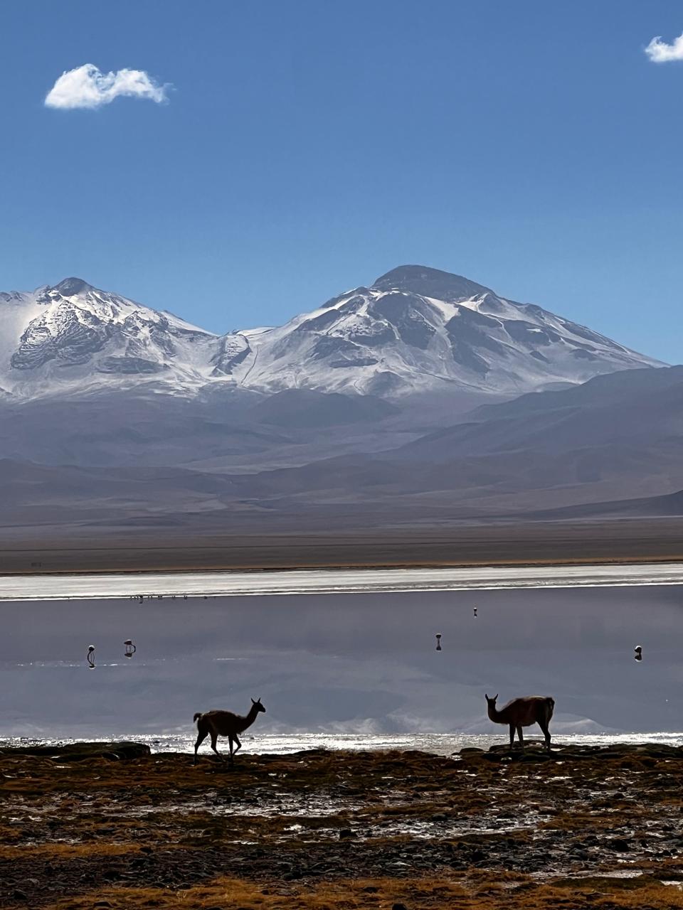
You get there from Copiapó, in northern Chile, and from there the landscape changes fast: salt flats, volcanoes in the distance, silence for days. The Atacama Desert out here looks like another planet, and you’ll pass guanacos and flamingos like it’s nothing, in the middle of nowhere.
Along the way you pass lagoons that are part of the trip itself. First Laguna Santa Rosa, tinted pink from the minerals in the water, with flamingos visible from a distance. Further on, around 4,200 meters, Laguna Verde, an intense turquoise color, with natural hot springs you can soak in after a full day of walking or driving, and on some trips we kayak on the lagoon itself. Laguna Verde is also where we set up base camp for the expedition: acclimatization rotations and the final summit push both leave from there.
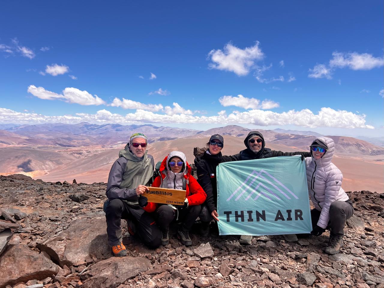
Before you go for Ojos del Salado itself, there are several trekking peaks in the area, 5,000 and 6,000 meters high, to acclimatize on, like Castillitos (the one in the photo above) or Nevado San Francisco, at 6,018 m. You move between the different bases by 4×4, because the terrain isn’t something a regular car can cross.
Compared to Aconcagua there are a lot fewer people. You will run into other groups, especially in high season, but nothing like the volume of expeditions climbing Aconcagua every year.
We drive in by 4×4 past Refugio Tejos (5,900 m), so you don’t have to walk the whole approach on foot: summit day starts higher up than usual. From there, the trail zigzags uphill at first. Then you cross a kind of snow plateau: sometimes you need crampons, sometimes not, depending on conditions that year. After that comes a stretch along the ridge, more exposed to wind, that can be icy.
The route skirts the crater before reaching the summit. The last stretch is only around 90 vertical meters, but it’s the worst part: a bit of scrambling over loose rock, with an old fixed rope used carefully because it isn’t always in good shape. You don’t need to be a mountaineer for this, but you do need fresh legs and a clear head.
All together it’s nearly 1,000 meters of elevation gain from the refuge to the summit, and the climb usually takes 6 to 10 hours. The real challenge here isn’t technical: it’s the combination of extreme altitude, intensely cold nights from the desert climate, and how isolated everything is, which means the logistics and team support have to be flawless.
You don’t need prior climbing experience. But you do need to arrive with multi-day trekking experience, or have been above 4,000 meters before at some point: your body needs to know how it reacts to altitude before taking this on.
A full expedition, with the necessary acclimatization days and the logistical support this remote area demands, takes between 8 and 12 days. The best season is the southern summer, November to February.
See the Ojos del Salado expedition
The first documented ascent of Ojos del Salado was in 1937, by a Polish expedition: Jan Szczepański and Justyn Wojsznis reached the summit on February 26 of that year.
And here’s a fact not many people know: NASA has spent more than two decades using the Atacama Desert — the same desert you cross to reach the volcano, though the actual testing happens further north, near Yungay — to trial instruments and prototypes before sending them to Mars. It’s one of the most Mars-like places on Earth. There’s a reason we say the landscape looks like another planet.