
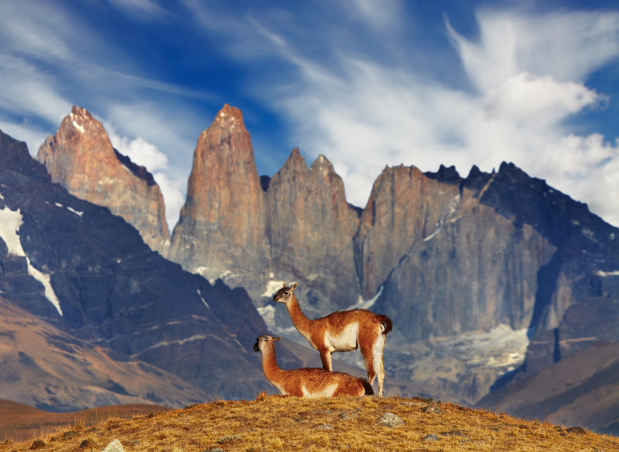
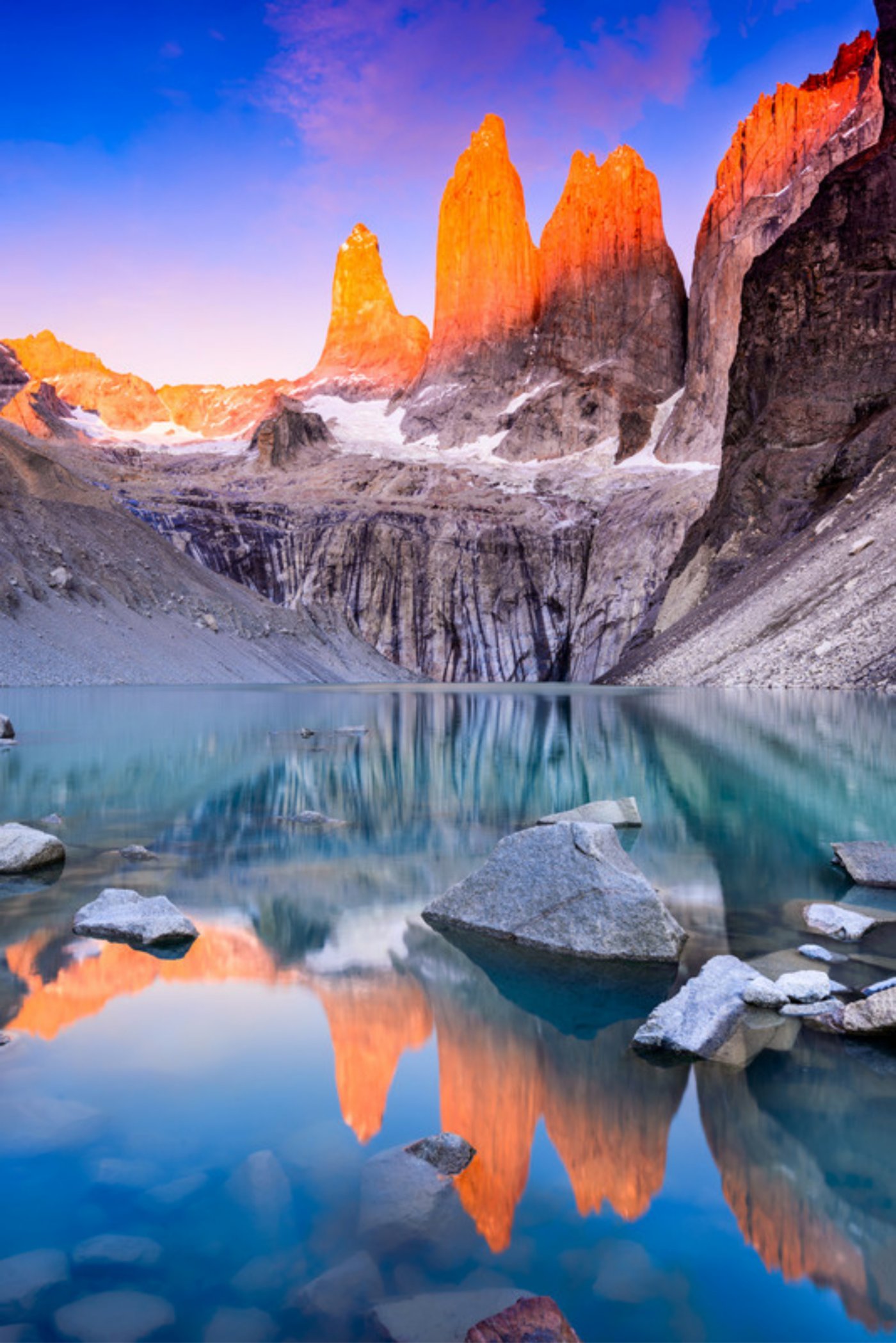
Torres del Paine is a national park at the southern tip of Chile, in the Magallanes region, about 112 kilometres north of Puerto Natales and just over 300 from Punta Arenas. It protects some 1,800 km² of Patagonia around the Paine massif, a block of granite that rises abruptly from the steppe, with the three Towers, around 2,500 metres high, and the Cuernos as its best-known silhouettes. To the west lies the Southern Patagonian Ice Field, which sends the Grey, Pingo and Tyndall glaciers down towards lakes of an almost unreal turquoise, such as Pehoé and Nordenskjöld. It has been a national park since 1959 and a UNESCO Biosphere Reserve since 1978.
There are two great routes to explore it on foot. Most people hike the W: four or five days along the southern side of the massif, between the Grey Glacier, the French Valley and the base of the Towers. The O Circuit is the full loop. It adds the much quieter northern side of the park and the John Gardner Pass, the highest point of the route. It takes about eight days and, in our view, it is the best way to get to know this corner of Chilean Patagonia.
The W covers the most famous part of the park, and the O includes all of it. The difference is in the first four days: from the Central sector, the O heads north through Serón, Dickson and Los Perros, loops around the back of the massif and comes down over the John Gardner Pass to the Grey Glacier. From there it follows the same trail as the W.
The circuit is walked in one direction only, anticlockwise, and every campsite and refuge must be booked before you enter the park. Without bookings you cannot start.
Serón, Dickson and Los Perros are the wildest part of the park. Meadows along the Paine River, Lake Paine, the Dickson Glacier and then dense forest full of Magellanic woodpeckers, up to the moraine of the Los Perros Glacier and its turquoise lagoon. Far fewer people walk here than on the W, and this is where Patagonia feels biggest.
This is the key day of the circuit. You leave Los Perros very early, through forest, mud and roots, and then climb loose rock, sometimes with snow, to the John Gardner Pass at 1,200 metres. From the top you look over the Southern Patagonian Ice Field, and the descent runs right alongside the Grey Glacier, with suspension bridges at the end. It is 18 kilometres and 10 to 12 hours.
Park rangers can close the pass in bad weather, and the wind here is very serious. That is why it is the most carefully planned stage: start early and never rush.
From Grey, the O joins the W: Lake Grey and its icebergs, Paine Grande on Lake Pehoé, the climb into the French Valley between the hanging glaciers of Paine Grande and the walls of the Cuernos, the shore of Lake Nordenskjöld and, on the last day, the climb to the Base Torres viewpoint to see the three granite towers above their lake.
The O Circuit is open from 1 November to 30 March, and CONAF can close it a few days early if the weather turns. December, January and February are summer, with very long days; March is quieter. The weather changes fast at any time: wind, rain and even snow on the same day. Our next departure is 20–27 February 2027: eight days from Puerto Natales, with campsites, meals, park entry and transfers included.
See the Torres del Paine O Circuit