
Armenia is a small, landlocked country in the South Caucasus, bordered by Georgia, Azerbaijan, Iran and Turkey. It covers just under 30,000 km², and around 86% of it is mountainous; the highest point, Mount Aragats, reaches 4,090 metres. The capital, Yerevan, lies in the west of the country, within sight of Mount Ararat, the 5,137-metre volcano that stands just across the Turkish border and still appears on Armenia’s coat of arms.
Armenia was the first country to make Christianity its state religion, in 301 AD, and that history is all over its trails. Walk for an hour almost anywhere and you reach a monastery, a carved stone cross or the ruins of a fortress. Distances are short, so you can sleep in Yerevan every night and still hike in a different region each day.
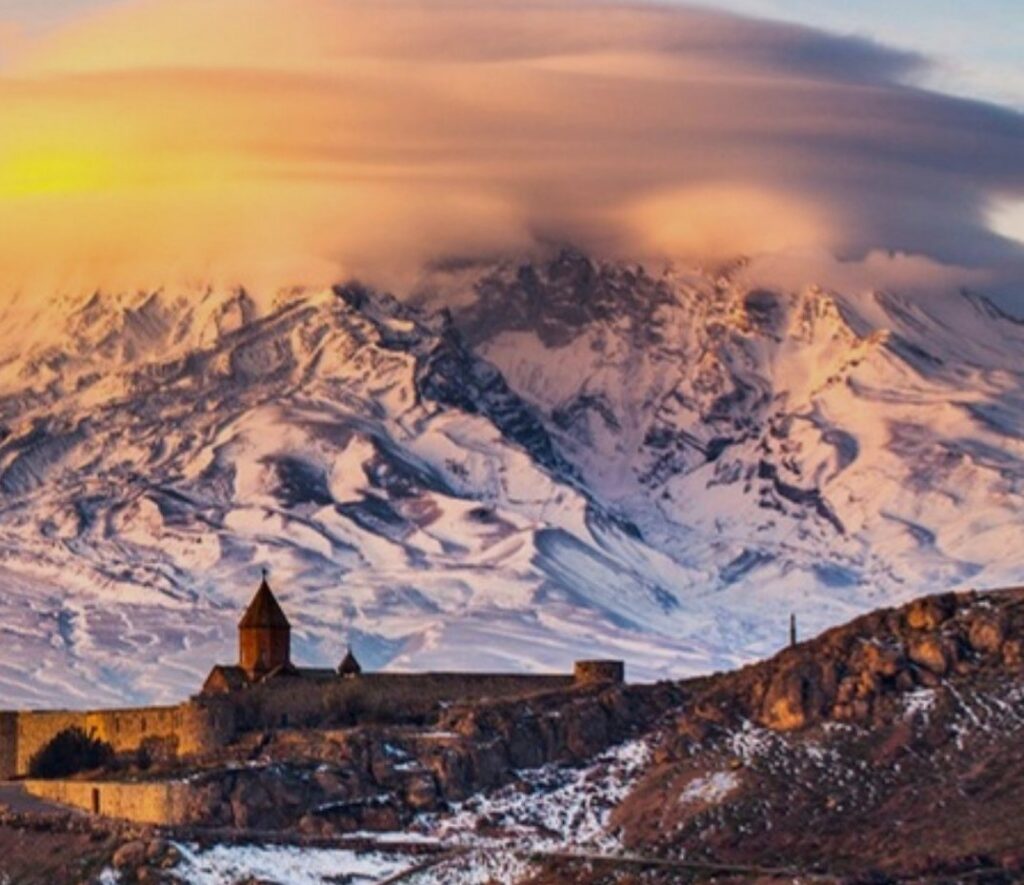
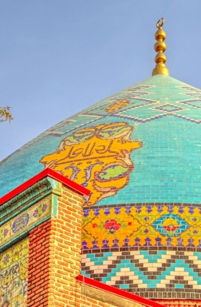
Yerevan began as Erebuni, a fortress founded in 782 BC by King Argishti I of Urartu, and it is one of the oldest continuously inhabited cities in the world. Today it is a city of pink tuff stone, cafés and wide avenues, and the best way to get to know it is on foot. Climb the Cascade, a huge stairway of terraces and sculptures, for the view over the rooftops to Ararat on a clear day, then walk down Northern Avenue to Republic Square.
Dilijan National Park, in Tavush province in the northeast, is the greenest corner of the country, with forests of oak, beech and hornbeam that have earned the area the nickname “Armenian Switzerland”. The hike starts at Lake Parz and follows a section of the Transcaucasian Trail through forest and meadows to Goshavank. The monastery was rebuilt in the late 12th century, after an earthquake, with the help of the scholar Mkhitar Gosh, who gave it its name. Inside is one of the finest khachkars, or carved stone crosses, in Armenia, made in 1291 by a master called Pavgos, so delicate it is often compared to lace. A short extra walk leads to Lake Gosh, small and quiet among the trees.
In the south, in Vayots Dzor province, the landscape turns dry and rocky. The hike climbs through a canyon to Tsaghats Kar, a monastery whose churches date from the 10th century and which, on a clear day, looks out towards Ararat in the distance. From there it carries on to Smbataberd, a fortress on a ridge at about 2,000 metres between the villages of Artabuynk and Yeghegis. It was reinforced in the 10th century and rebuilt in the 13th by the Orbelian princes. At 12 kilometres it is the longest day, and the one with the best views.
Armenia has a continental climate, with hot summers, cold winters and mild springs and autumns. Our departures are in winter, 2 to 6 December 2026 and 7 to 10 January 2027, when the monasteries are quiet and the mountains are white. There may be snow on the trails, and the guide adapts each hike to the conditions on the day. The walking is easy to moderate, 22 kilometres in total over three days, with every night in a hotel in Yerevan. And if you would rather stand on top of Ararat than look at it, read Climbing Mount Ararat.
Smbataberd got its water through a pipeline from springs near Tsaghats Kar. According to local tradition, the Seljuk Turks who besieged it could not find the source until they let a thirsty horse loose and followed it to the water. They cut the supply, and the fortress fell.