
In the far west of Kazakhstan, between the Caspian Sea and the border with Turkmenistan, lies a desert unlike any other. Mangystau (also spelled Mangistau or Mangyshlak) covers more than 165,000 km², and across it the flat steppe suddenly breaks into white chalk cliffs, canyons striped in red and pink, salt flats that shine like snow and lonely mountains shaped like castles.
Aktau, the regional capital, was a closed city in Soviet times, built around uranium and oil, and tourism has only just begun to arrive. There are no paved roads to the best places, no hotels in the desert, and your phone signal disappears as soon as you leave town. That is exactly why it remains one of the least crowded destinations in Central Asia: you can drive for hours without passing another car.
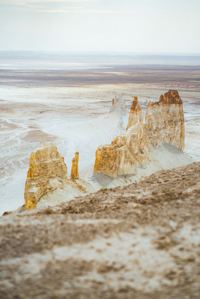
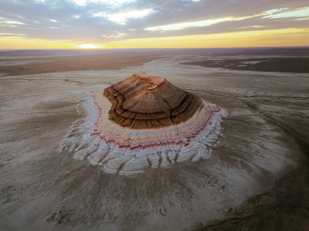
Millions of years ago, all of this was underwater. Mangystau was the floor of the Tethys Ocean, a vast sea that separated the ancient continents and slowly disappeared; the Mediterranean, the Black Sea and the Caspian itself are among its remnants. As the water retreated, it left layer upon layer of marine sediment (chalk, limestone, coloured clays) that wind and erosion have been carving ever since.
That explains almost everything you will see: the white cliffs are ancient seabeds, the coloured bands of Kyzylkup mark different eras, and the stone spheres of the Torysh valley formed inside those sediments. Travelling through Mangystau really is walking across the bottom of a sea.
Bozjyra. The postcard image of Mangystau, and for many people the reason to come: a huge valley ringed by white chalk walls, with two sharp peaks in the middle that everyone calls “the fangs”. Spend a night here if you can. At sunset the chalk turns orange and pink, and at dawn the silence is total.
Airakty and Sherkala. Airakty, the Valley of Castles, is a cluster of rock towers and walls that look like ruined fortresses from a distance. Nearby, Sherkala rises alone from the steppe; depending on where you stand it looks like a giant yurt or a resting lion, and its name is usually translated as “lion fortress”.
Torysh, the Valley of Balls. Hundreds of stone spheres scattered across the plain, some almost perfectly round. They are concretions that grew inside the sediments of the ancient ocean and have slowly been exposed by erosion.
Kyzylkup, the “Tiramisu”. Kyzyl means red in Kazakh, and the earth here is exactly that. The slopes are banded in white, pink and rust, like the layers of a dessert, hence the nickname. Next to it stands Bokty, a huge flat-topped mesa visible from miles away.
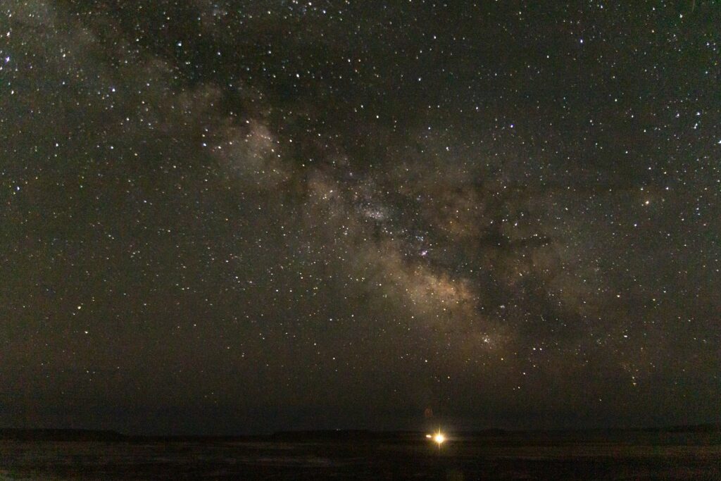
Sora Tuzbair and the Tuyesu dunes. Tuzbair is a salt flat so white and so flat that the horizon disappears, and at night it is one of the best places to see the stars. Tuyesu, by contrast, is a sea of golden dunes in the middle of the steppe.
The underground mosques. For centuries Mangystau was a land of pilgrims, and some of its mosques are cut into the rock. Shakpak-ata, carved into a canyon wall, is more than a thousand years old; Sultan Epe is dedicated to the patron saint of sailors. These are sacred places, so cover your arms and legs, and women should cover their hair.
The Karagiye Depression. Not far from Aktau lies the lowest point in Kazakhstan, about 132 metres below sea level, which you can look into from viewpoints along the road to Zhanaozen.
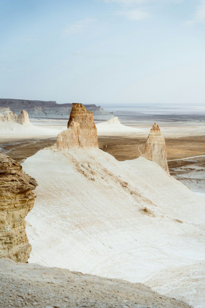
The best seasons are spring, from April to early June, and autumn, in September and October. In spring, days are around 20–30°C, nights drop to 10–15°C and it hardly ever rains. In midsummer temperatures easily pass 35°C and sometimes 40°C, while winter is cold, with strong winds and nights below freezing.
Even in spring, the desert cools fast after sunset, so a warm jacket is essential. Our departure runs from 31 May to 6 June, at the end of spring, with long days and heat that is still comfortable.
Aktau, on the Caspian coast, is the gateway to the region. There are few direct international flights: the usual routes are via Istanbul or Baku, or via Almaty or Astana with a daily domestic connection. In spring and autumn, book early.
Once you are in Aktau, everything else is by 4×4. There is no public transport to any of the natural sites, and the tracks are dirt, sand or rock; what looks like 100 kilometres on the map can take several hours.
Citizens of many countries, including the EU, the UK and the US, can visit Kazakhstan visa-free for up to 30 days, with a limit of 90 days in any 180-day period, and stays under 30 days need no registration. Make sure your passport is valid for at least three months from your arrival. Rules can change and depend on your nationality, so always check the current requirements before you travel.
Mangystau is not a place to explore on your own without experience. Outside Aktau there are almost no services: no fuel stations, no shops, no signal for most of the route, and many tracks are not on any map. A puncture or a car stuck in the mud of a salt flat can mean hours waiting for help. That is why almost everyone travels with a local guide and a 4×4 with driver, who know the terrain and carry water, fuel and recovery gear.
There are no campsites or lodges in the desert either: you sleep in a tent, out in the open. In return you get nights of complete silence and a sky full of stars like few places left on Earth. The walks are short and non-technical, so the trip suits anyone with normal fitness; the tiring parts are the midday heat and the long hours on dirt tracks.
Layers, because you go from midday heat to cold nights: breathable T-shirts, a fleece and a warm jacket for camp. A cap or hat, sunglasses, high-factor sunscreen and a scarf, which works for dust, sun and covering up in the mosques. Comfortable hiking shoes, a head torch, a power bank, wet wipes and a reusable bottle. On our trip, the tent, sleeping mat and sleeping bag are included.
If you want to see it without worrying about logistics, we have a departure from 31 May to 6 June 2027: seven days from Aktau by 4×4, with three travellers per vehicle, a local guide and all meals, camping in Kapamsay, Airakty, Sora Tuzbair, Bozjyra and Kyzylkup before finishing in the Tuyesu dunes. From $1,590.
Where is Mangystau?
In the far west of Kazakhstan, on the shores of the Caspian Sea and next to the border with Turkmenistan. Its capital is Aktau.
How many days do you need in Mangystau?
At least six or seven days to see the highlights (Bozjyra, Airakty, Torysh, Kyzylkup and Tuzbair) without rushing. Distances are long and almost everything is on dirt tracks.
What is the best time to visit Mangystau?
Spring, from April to early June, and autumn, in September and October. Summer regularly goes above 35°C and winter is very cold and windy.
Do I need a visa for Kazakhstan?
Citizens of the EU, the UK, the US and many other countries can stay up to 30 days visa-free. Check the current rules for your passport before you travel.
Can you visit Mangystau independently?
Yes, but only with a 4×4 and off-road experience: there is no public transport, no services and no signal across most of the region. Most travellers go with a local guide and driver.
Is the trip difficult?
No. The walks are short and non-technical. The hardest parts are the hours in the 4×4, the midday heat and sleeping in a tent.