
At 4,805 metres, Mont Blanc is the highest mountain in the Alps. It stands on the border between France and Italy, with Switzerland just a few kilometres to the northeast. Three well-known valleys lie at its feet: Chamonix on the French side, Courmayeur on the Italian side and the Val Ferret in Switzerland. The Tour du Mont Blanc is the trail that loops all the way around the massif through the three countries. It covers about 170 kilometres and around 10,000 metres of ascent, usually spread over 9 to 14 days.
Most people start in the Chamonix valley and walk anticlockwise. The French side comes first, then you cross into Italy over the Col de la Seigne, into Switzerland over the Grand Col Ferret, and finally back into France. Every day you cross a pass, drop into another valley and see the massif from a new angle. There is no climbing involved: it is a walking route for people who hike regularly.
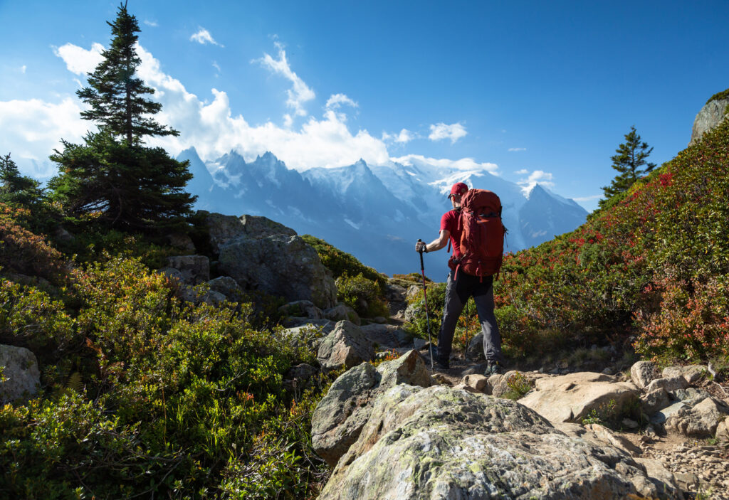
On the first walking day you ride the Bellevue cable car, pass the snout of the Bionnassay glacier, cross its torrent on a suspension bridge and climb to the Col de Tricot, at 2,120 metres. The next day, from the church of Notre-Dame de la Gorge, an old Roman road leads to the Col du Bonhomme and the Croix du Bonhomme, at 2,433 metres, and down through pastures to Les Chapieux.
The Col de la Seigne, at 2,516 metres, is the border with Italy. On the other side the Val Veny opens up, with the Italian side of Mont Blanc and, further back, the Grandes Jorasses. Courmayeur is the Italian village of the massif. From there you head into the Italian Val Ferret, with the wall of the Jorasses in front of you. On the hut-to-hut version you walk the valley’s balcony trail and spend the night at the Elena hut, at the foot of the Grand Col Ferret.
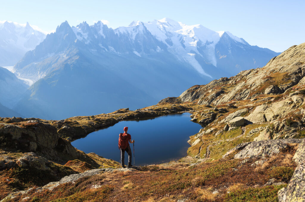
Over the Grand Col Ferret, at 2,537 metres, you enter Switzerland and the landscape softens: meadows, cows, wooden houses and villages such as La Fouly and Champex, which sits on a lake. On the hut-to-hut version, if the weather and the trail allow, the guide may choose the Fenêtre d’Arpette, at 2,665 metres, one of the highest points on any variant of the Tour. The last stage is back in France, in the Aiguilles Rouges nature reserve. The trail passes the Chéserys lakes, where Mont Blanc is reflected in the water on a calm day, and ends at Lac Blanc, at 2,352 metres.
On our versions, stages run from 9 to 16.5 kilometres, four to seven and a half hours a day, with climbs of up to 1,300 metres. There are no technical sections, but you should arrive fit and used to walking several days in a row. You can sleep in hotels or in mountain huts, and we offer both: 7 days in hotels or 9 days hut to hut. In both, your luggage goes ahead by vehicle (except one night on the hut-to-hut version), so you only carry a small daypack, and a few linking sections are done by cable car or transfer, to save time for the most beautiful stages.
The season runs from mid-June to mid-September, when the huts are open and the passes are usually clear of snow. July and August are the most settled months and also the busiest. Our 2027 departures are 18 to 24 July (7 days in hotels) and 21 to 29 August (9 days hut to hut), both from Chamonix with a UIMLA-certified mountain leader.
The tour of Mont Blanc came before its summit. In 1767 the Geneva naturalist Horace-Bénédict de Saussure walked around the massif looking for a way up a peak nobody had yet climbed. The first ascent came in 1786, by two Chamonix men, Jacques Balmat and Michel Paccard, and Saussure made it to the top the following year.
See the Tour du Mont Blanc