
At a glance
- Duration: 18 days from Kathmandu walking back down, or 16 if you fly back by helicopter
- Maximum altitude: 5,420 m (Cho La pass)
- Difficulty: demanding because of the altitude and the Cho La, the toughest day
- Accommodation: mountain lodges (teahouses)
- Best time: spring (March to May) and autumn (October and November)
- Starting point: Kathmandu
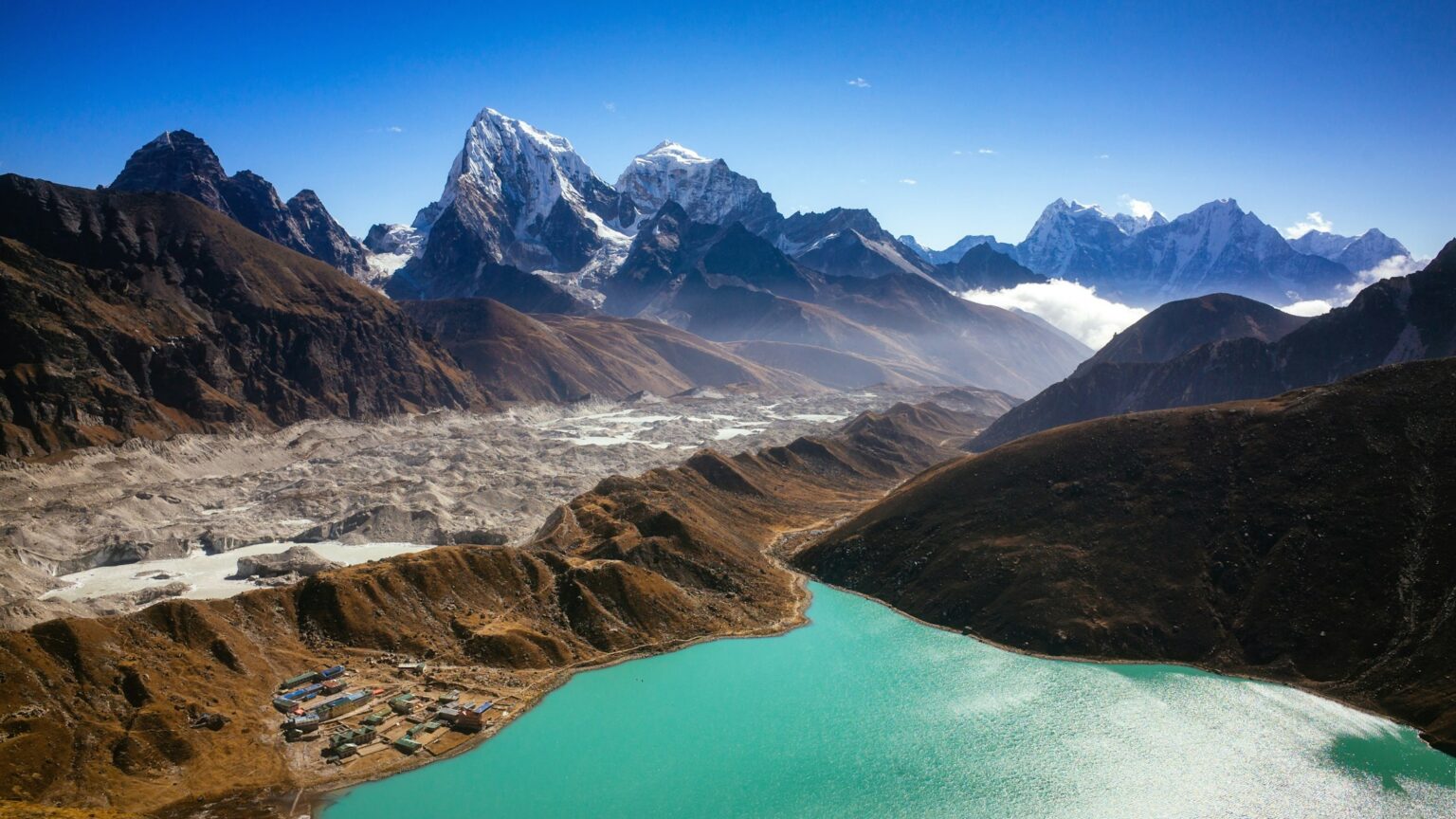
If you love the idea of Everest Base Camp but want a quieter route with different scenery every day, the Gokyo variation is for you. Instead of heading straight for Everest, you walk up a far less busy valley to a string of turquoise lakes at almost 5,000 m. From there you climb Gokyo Ri, one of the best viewpoints in the Himalayas, and cross the Cho La pass to join the classic route on the way to Base Camp.
The first part, from Kathmandu to Namche, is the same as on the Base Camp trek. We cover it in our Everest Base Camp trek guide. Here we pick things up in Namche, right where the trail splits.
You leave Namche on the usual trail along the hillside, passing Kyangjuma with its Tibetan handicraft stalls beside the path. At Sanasa you turn left, and that’s where the trip changes. You leave the bustle of the classic route behind and the trail gets much, much quieter. From here on you meet very few people, and the main sounds are the wind, the odd yak and your own footsteps.
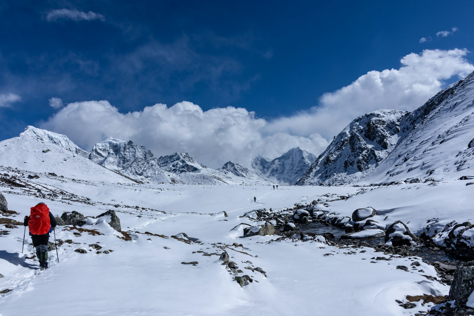
First comes a climb, and a steep one, up to Mong La, a pass at almost 4,000 m. As you go up, huge views open out on one side over the Dudh Koshi Valley, with the river far below and Ama Dablam, Thamserku and Kangtega in the distance. At the top there’s a small stupa with prayer flags and a couple of teahouses where you can stop for a cup of tea. Behind it rises Khumbila, the sacred mountain of the Sherpas, which nobody climbs out of respect.
Just past the stupa the descent begins, steep and zigzagging, the kind your knees will feel, all the way down to the river at Phortse Tenga. Take it carefully, especially first thing in the morning. The last time we came through, the trail was a little icy, and trekking poles make the way down much easier. At Phortse Tenga you cross the river and start climbing again, this time through rhododendrons and junipers. In spring, with the trees in flower and the snowy peaks behind, it’s gorgeous.
Little by little the forest falls away. The valley opens up, the first yak pastures appear and you reach Dole, at 4,040 m, a handful of teahouses ringed by mountains, with Thamserku and Kangtega right in front of you.
It’s a short stage, about three or four hours, but at this altitude no stage is easy. The trail follows the side of the valley above the river, passing Lhabarma and Luza, small stone settlements that herders use in summer. Soon Cho Oyu appears ahead, the sixth highest mountain in the world, on the border with Tibet. It’s huge and completely white, and it stays in front of you all day, getting closer and closer. Taboche and Cholatse rise on either side.
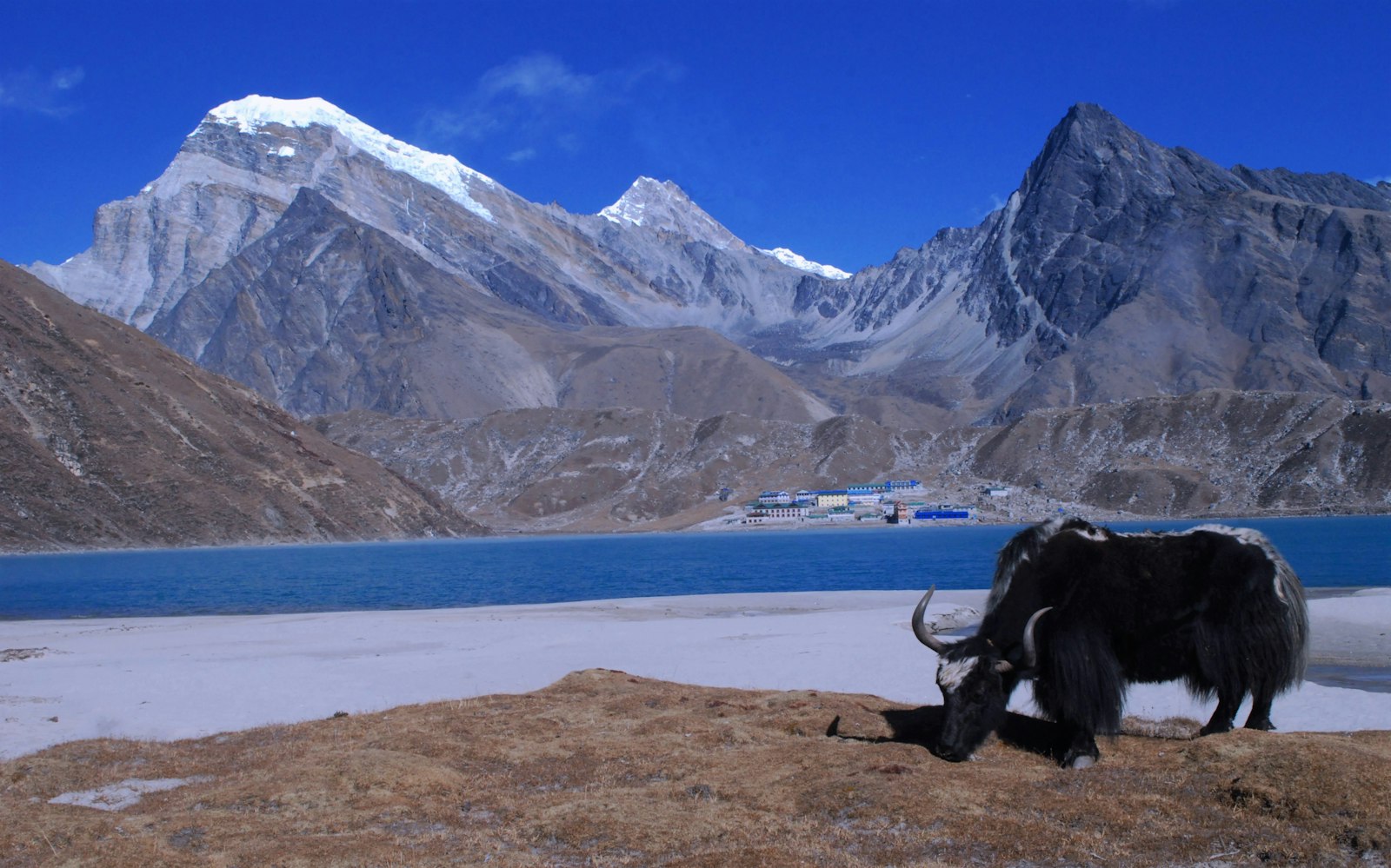
Machermo, at 4,470 m, is tucked away in a small side valley. It used to be a cluster of stone huts where herders brought their yaks up in summer, and today some of them are simple teahouses. The village also has a small rescue clinic, set up to look after porters, which treats trekkers too during the season. You get in early, so in the afternoon it’s worth walking a little way up the ridge behind the village, where you can see Cho Oyu and Thamserku. It’s good for acclimatisation as well.
For us, it’s one of the most beautiful days in the whole Khumbu. You leave the last traces of vegetation behind, the valley widens and the landscape turns to stone, with the river cutting its way between moraines and Cho Oyu at the head of the valley. After Pangka, the trail climbs onto the moraine of the Ngozumpa Glacier, the longest in Nepal, a river of rock and ice that stays with you most of the day, with frozen ponds dotted here and there.
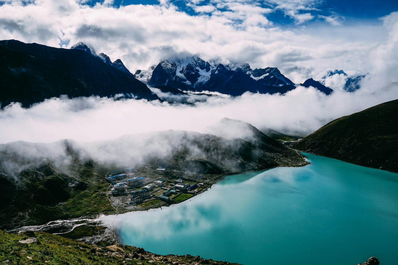
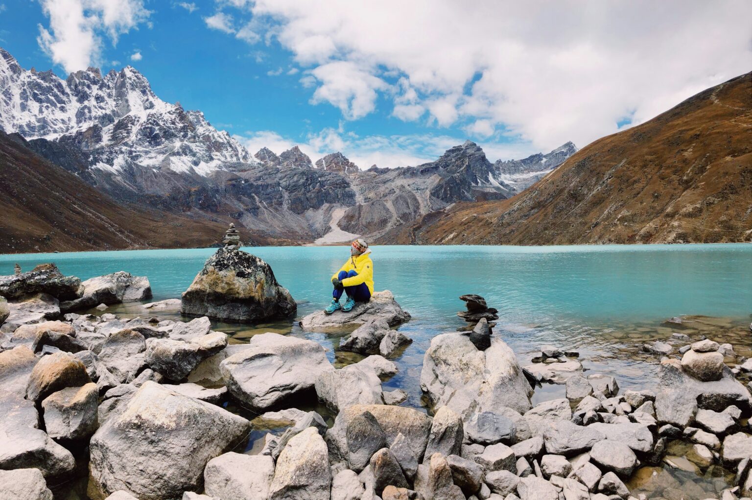
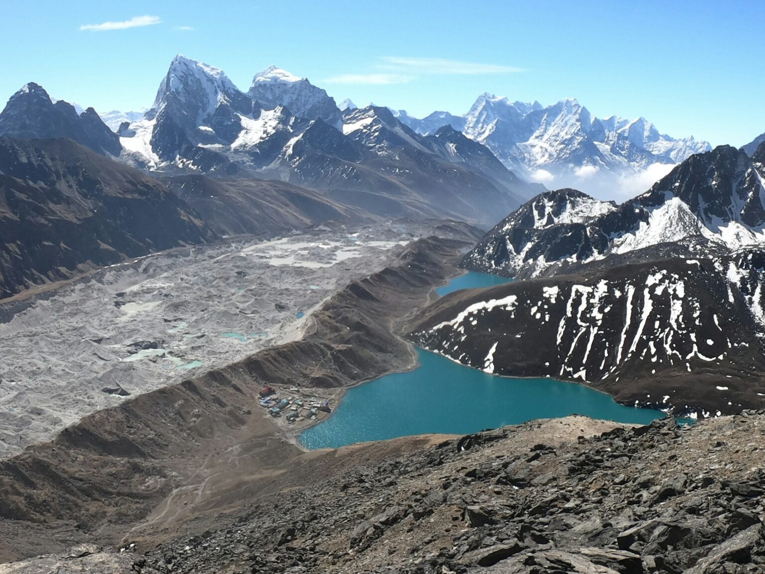
Gokyo has six main lakes, and you discover the first three one after another along the trail. The first is Longponga, small and deep blue. Depending on the time of year you might find it frozen solid, a white sheet in the middle of the rocks, and it’s spectacular. A little further on comes the second, Taujung, bigger, with the mountains reflected in the water. And just when you think you’ve seen it all, the third one opens up: Dudh Pokhari, with the village of Gokyo on its shore and Cho Oyu behind. It’s a dreamlike arrival. The turquoise of the water, the white of the mountains, the grey of the glacier and the silence. It’s one of those places where you just stop and stare, without saying a word.
Further up the valley are the other three: Thonak, the fourth and the biggest, and then Ngozumpa and Gyazumpa, close to 5,000 m and with hardly anyone around. Together they make up one of the highest freshwater lake systems in the world, and they’re sacred to Buddhists and Hindus. In August, at full moon, hundreds of pilgrims climb up to bathe in them.
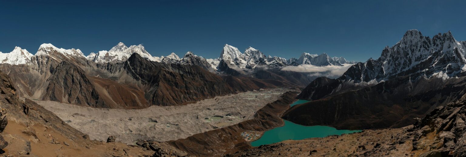
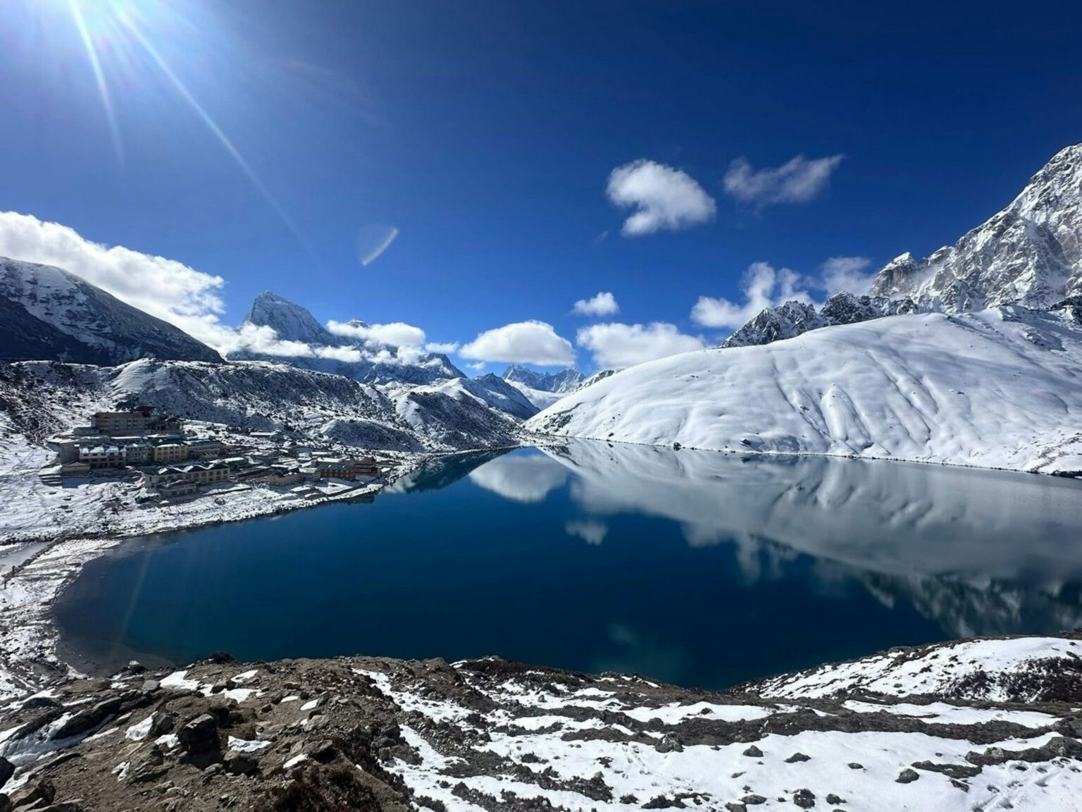
Gokyo sits at 4,790 m. It’s a small village, with a few teahouses, very few services and a very slow pace. Afternoons are spent in the dining room by the stove, or strolling along the lakeshore. If you arrive with energy to spare, there’s a short climb behind the teahouses with views over the glacier.
You spend two nights in Gokyo. On the day in between you set off very early to climb Gokyo Ri at first light. The climb is short, about three kilometres, but very steep, on a zigzag trail that never lets up, and it takes two to three hours. At the top, at 5,357 m, among the prayer flags, the reward is one of the best in the Himalayas: four 8,000 m peaks in view at once, Everest, Lhotse, Makalu and Cho Oyu, with the Ngozumpa Glacier snaking along below and the Gokyo lakes right beneath you. Plenty of people who’ve climbed it say the views from here are underrated, and they’re right. You get a better view of Everest from here than from Base Camp itself.
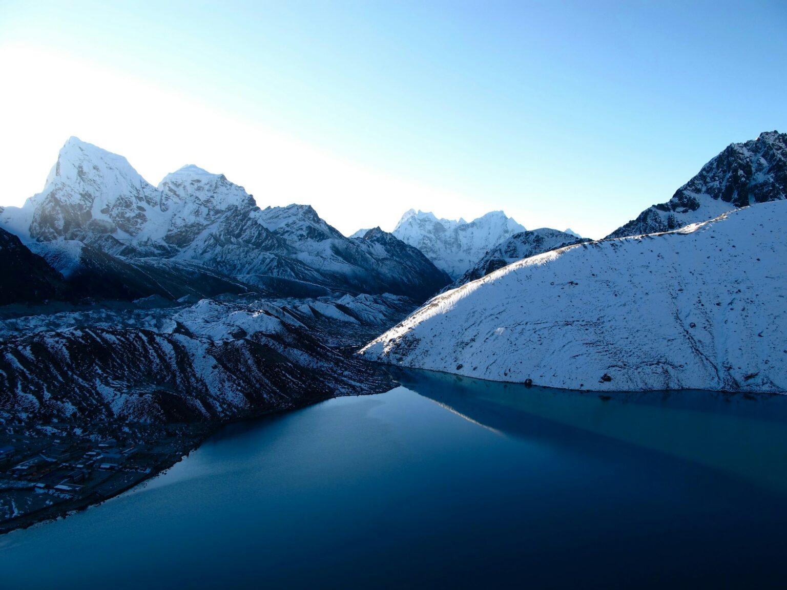
Then you head down slowly, and the rest of the day is for resting. If you’ve got energy left, you can walk to the fourth lake, Thonak, on an almost flat trail beside the glacier. Climbing Gokyo Ri and reaching the fifth lake on the same day is usually too much, so it’s best not to overdo it.
It’s a short stage, two or three hours, meant to bring you closer to the Cho La. You leave Gokyo and cross the Ngozumpa Glacier on a narrow trail that goes up and down between rocks, moraines and ponds, with ice in places. The route changes every year, so you follow the little stone cairns that mark the way. On the other side is Thangnak, at about 4,700 m, a couple of teahouses at the foot of the pass. You get in early, rest and have an early dinner, because tomorrow is a long day.
It’s the hardest day of the trip, and one of the most exciting. You leave Thangnak before dawn, with a head torch, to get across before the weather changes in the afternoon. For the first two hours the trail climbs a rocky valley to a col, then crosses a field of big boulders. The last part is a steep scramble up the rock, and in some sections there are fixed ropes or metal cables to hold on to. At the top is the glacier, usually covered in snow. If there’s ice, microspikes get you across fine, and you move slowly, paying close attention to where you put your feet.
At the top, at 5,420 m, among the prayer flags, the views are stunning, with Cholatse and Ama Dablam in front of you. The descent starts by crossing the other side of the glacier, nearly always snowy, and carries on down a steep gully of rock and loose stones, where you need to go slowly and lean on your poles. Eventually you reach some pastures, and from there the trail eases off all the way to Dzongla, at 4,830 m, a few teahouses with lovely views of Cholatse. You arrive tired after a seven to ten hour day, and it’s one of those nights when dinner tastes like the best meal of your life.
After the Cho La, this is an easier day of about three or four hours. You leave Dzongla with a short climb, then the trail stays high along the hillside, curving around Awi Peak, with Lobuche East on one side and beautiful views of the Pheriche Valley below. At the end you drop down to the main Base Camp trail and reach Lobuche, at 4,940 m. If you catch yourself staring at Lobuche East and thinking about climbing it, we do just that on our Lobuche East Expedition.
From here the route is the same as the Base Camp trek: Gorak Shep, Base Camp and the walk back down to Lukla. We cover all of it in the Everest Base Camp trek guide.
If you’re short on time, there’s a way around it: you can fly back by helicopter from several points along the trail. You save days of walking down, and you get to see the Khumbu from the air, which is quite a sight. Ask us about the options.
Our route crosses just one pass, the Cho La. If you want more, there’s the Three Passes trek, a full loop of the Khumbu that crosses the three big passes in the area: the Kongma La (5,535 m), the Cho La (5,420 m) and the Renjo La (5,360 m). It usually takes 18 to 21 days and calls for very good fitness and experience at altitude.
In Machermo they still tell the story of the yeti. Decades ago, a Sherpa herder took her yaks up to the pastures in the valley and, so the story goes, a yeti attacked her and killed two of her yaks. Nobody has ever been able to prove it, but people in the valley still tell it, and in Machermo more than one person will tell it to you by the stove.
If you’d like to do this route, we organise it on request. Take a look at the Everest Base Camp trek and get in touch.